Examples#
Create a data package#
Prerequisites
You are in the Eawag Intranet - otherwise you will not be able to access data.eawag.ch ( only accessible from Eawag intranet) and will be forwarded to opendata.eawag.ch our read-only portal .
You have an ERIC/internal account and editor permissions - if your’re unsure, please check the first time user section.
Tip
Have some data ready for uploading. Since every data package should have a ReadMe file, you could start with that.
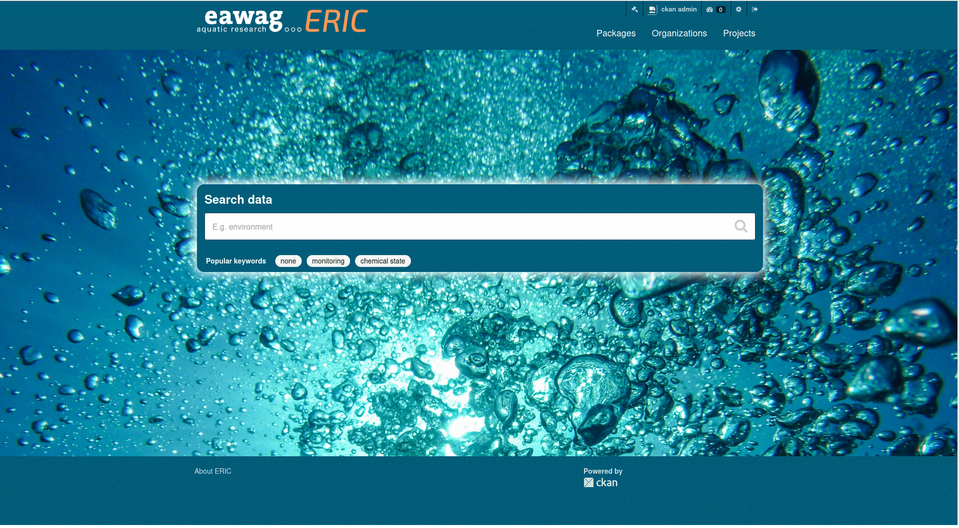
First we’ll navigate to the package creation form.
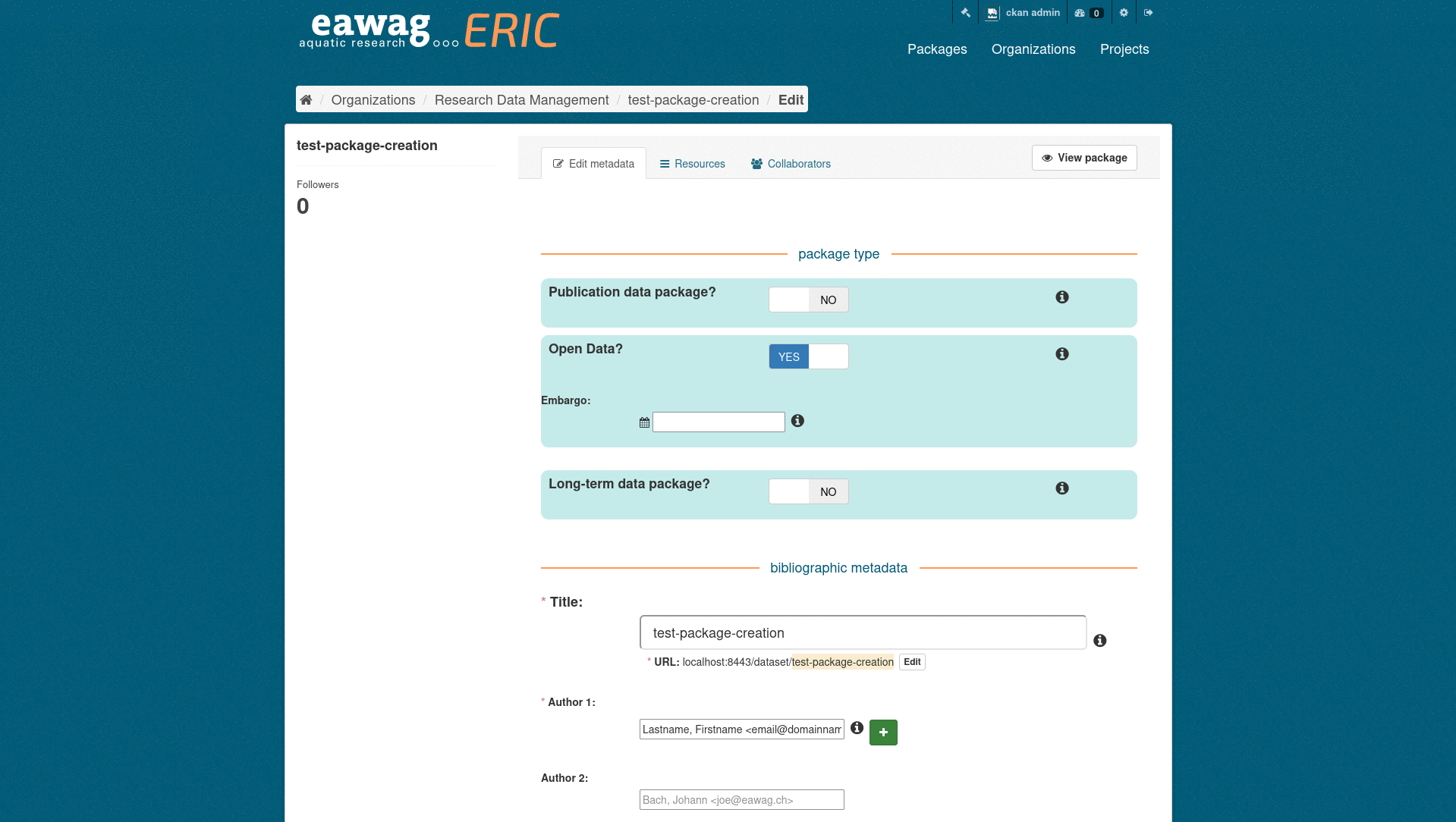
Enter package metadata#
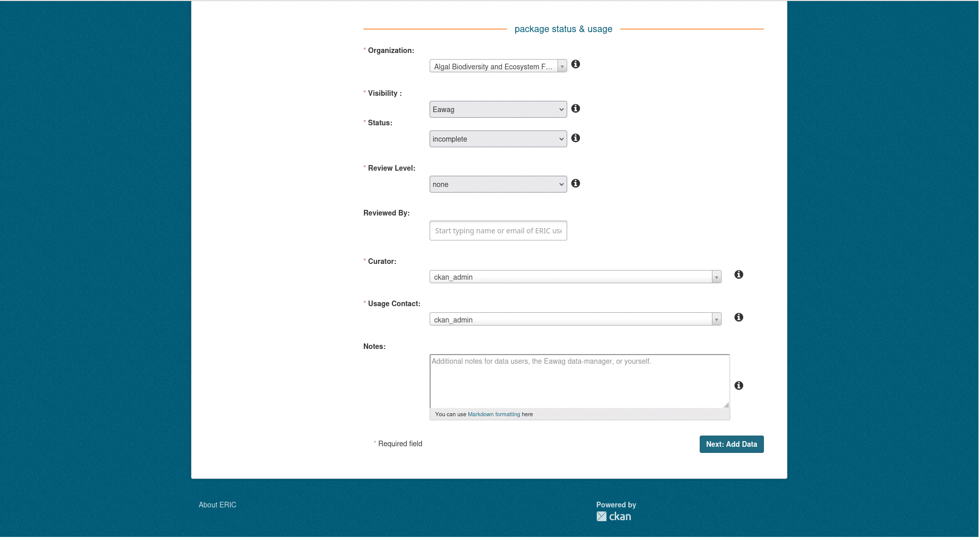
As you scroll through the form, you will see all the metadata you can enter at the package level. Metadata is very important for anyone (maybe even yourself in a few years time) who tries to work with the data you want to preserve/publish in ERIC. Take the time to fill in the various fields with your metadata. Required fields are marked with a red asterisk *. If you have any questions about how to fill in a field, click on the information button to the right of each field.
Package Creation Form
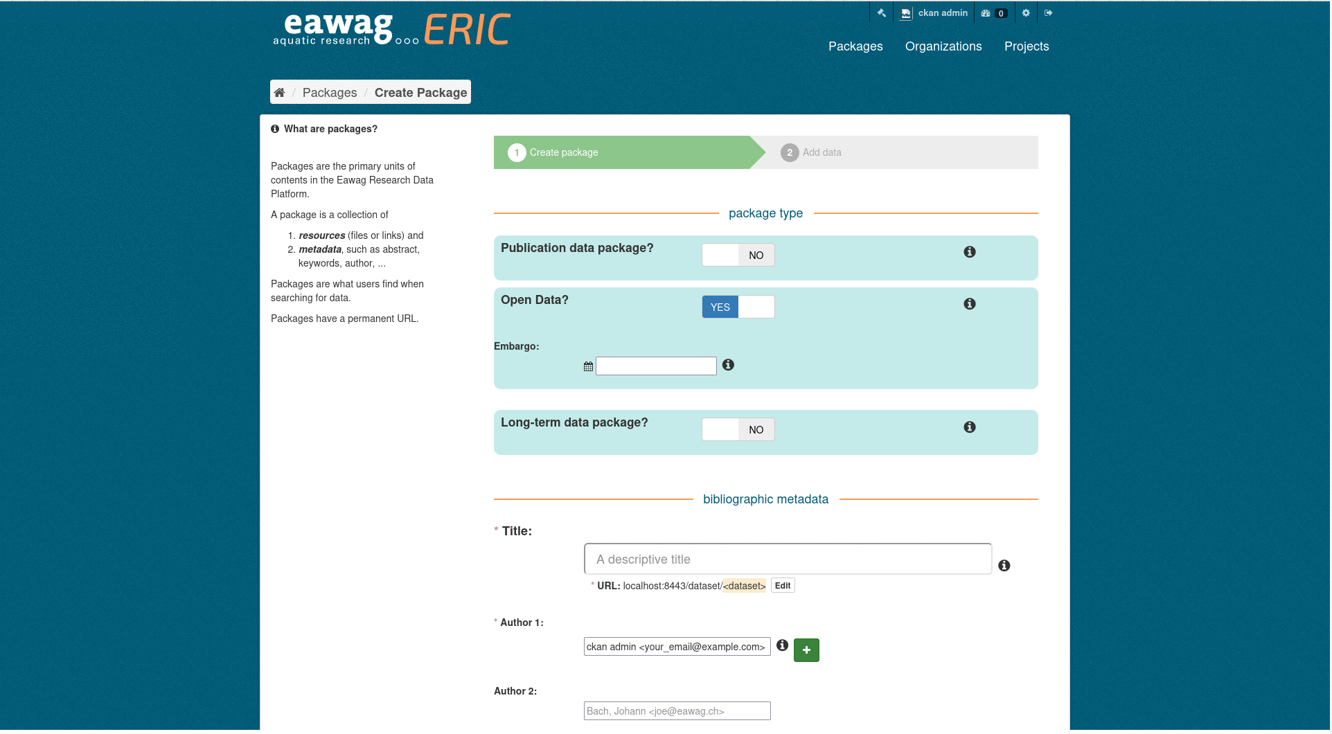
Some fields may not be easy to fill in. You can always edit a data package before publication, if you’re not sure what to enter. The spatial extend field may not be so easy to fill in. Please refer to the adding spatial information section for copy and paste examples.
Once you entered your metadata you can progress to uploading resources.
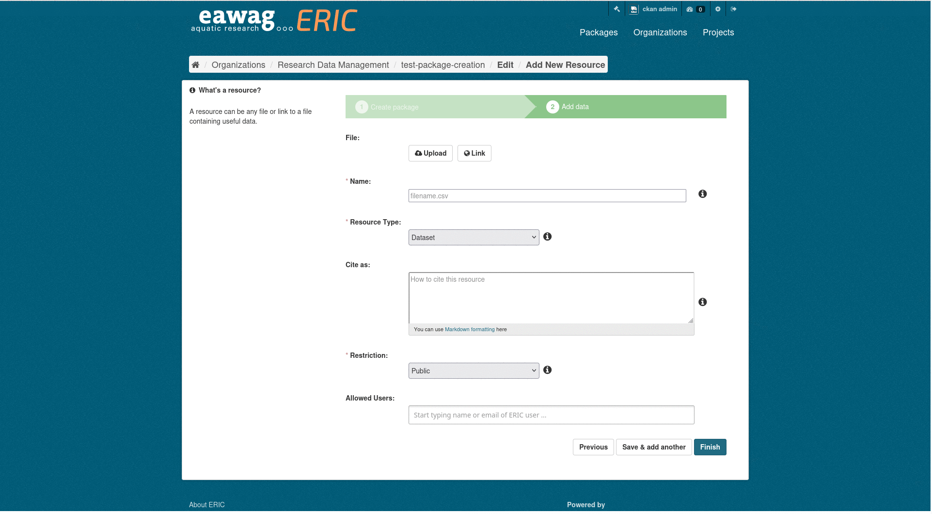
Enter Resource Creation Form
Upload resources#
Resources can be files or links. Most likely one will want to upload files, sometimes you also want to use links.
Files#
As suggested before every data package should have a ReadMe file (.txt/.md both work).
Once the file has been uploaded make you set the correct resource type and set desired access restrictions. Finally you can click add.
Upload a ReadMe File
Links#
To create a link resource, click on link instead of upload and copy/paste the URL. Then set the metadata as you wish.
A common reason to include a link is to point to a code repository (e.g. in GitHub, where the code used to work with the data is stored. If it’s code, you should not only link to a repository, but also upload the actual scripts you used; as software changes over time, we want to make sure that the correct version of your code accompanies the data for which it was used.
Warning
Links are a way to point to external resources. Keep in mind that external links you put into your data package are not under Eawag’s control. If the link disappears the resource will break.
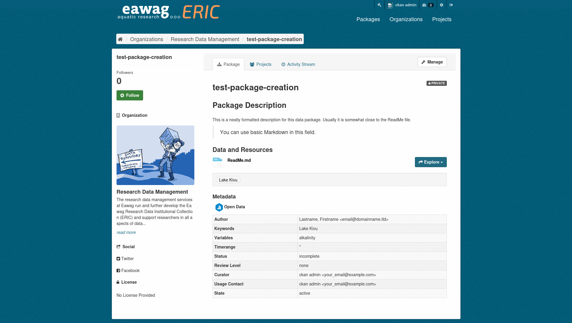
Edit a data package#
Important
You can only edit your package until it is published. If you need to make changes after it has been published, you should create a new package and then release it as a new version.
To edit a package first you need access your package on ERIC/internal. Once there, you can edit via pressing Manage.
Edit a Data Package
In this new view you can edit the package metadata as well as edit and add resource.
Edit a Resource

Add Resources later
Adding spatial information#
If you want your data package to be searchable via spatial information it is advised to add a spatial extend. Spatial extends can be specified in GeoJSON. Check out the official examples.
Unsupported GeoJSON formats
GeometryCollection, FeatureCollections and FeatureObjects are currently not supported.
Warning
Coordinates must be specififed in the order Longitude, Latitude. Google maps pins are in the reverse order.
Below you can see examples for each supported string and how this will be displayed on a map.
Point
{"type": "Point", "coordinates": [8.609, 47.403]}
MultiPoint
{"type": "MultiPoint", "coordinates": [[8.609, 47.403], [8.61, 47.409]]}
LineString
{"type": "LineString", "coordinates": [[8.609, 47.403], [8.61, 47.409]]}
MultiLineString
{"type": "MultiLineString", "coordinates": [[[8.609, 47.403], [8.61, 47.409]], [[8.619, 47.413], [8.62, 47.419]]]}
Polygon
{"type": "Polygon", "coordinates": [[[8.609, 47.403], [8.61, 47.409], [8.62, 47.419], [8.619, 47.413]]]}
MultiPolygon
{"type": "MultiPolygon", "coordinates": [[[[8.609, 47.403], [8.61, 47.409], [8.62, 47.419], [8.619, 47.413]]], [[[8.589, 47.383], [8.59, 47.389], [8.6, 47.399], [8.599, 47.393]]]]}
Warning
Polygons defined in a MultiPolygon may not overlap!
Set up a preview for you resources#
This chapter is coming soon.